 IranNatural attraction; Waterfall
Varchor Waterfall of Razjerd
A seasonal waterfall in the rocky highlands near Razjerd village northwest of Qazvin.
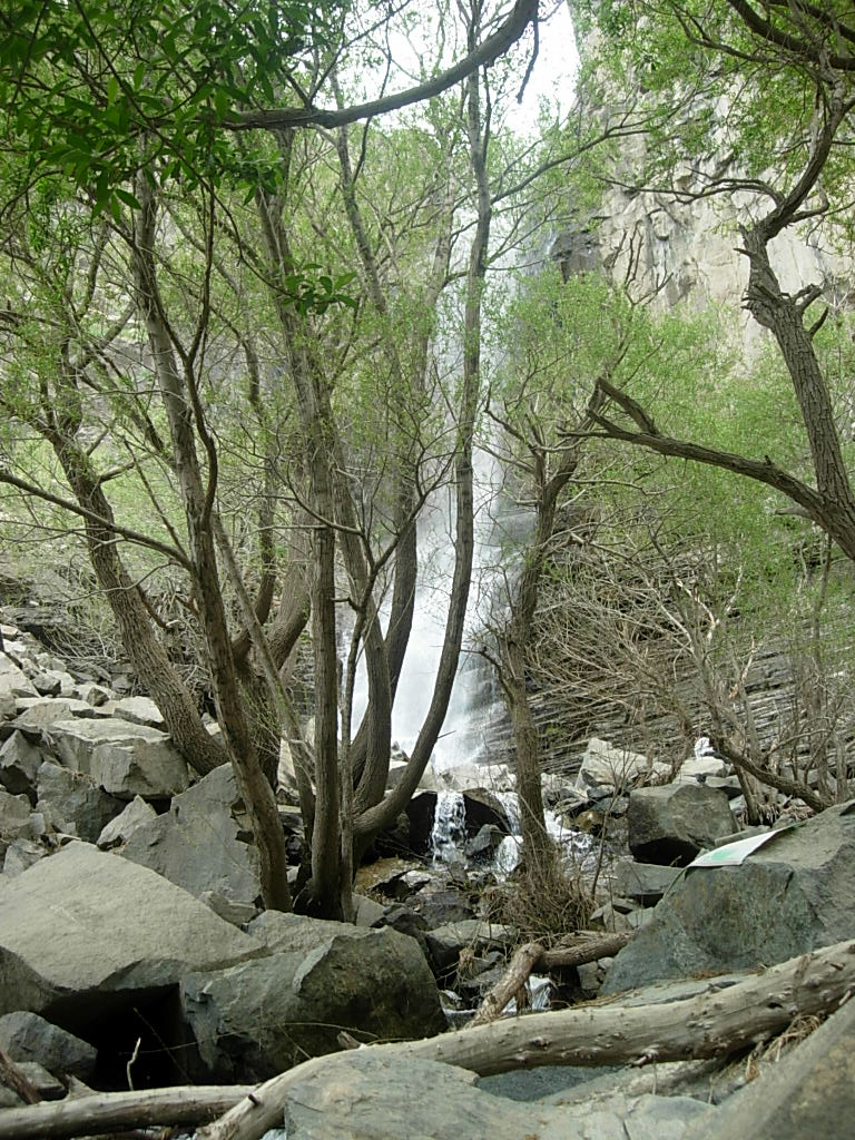
Local accounts describe the fall as more than thirty metres high. The sound of the water can become noticeable before the full cascade comes into view, because the large rock walls interrupt the sightline and carry the sound through the gorge. As the visitor approaches, the water appears between tall, irregular cliffs before descending toward the lower channel. The surrounding boulders give the site a strongly enclosed character. The bottom of the gorge feels visually separate from the more open mountain slopes, and the contrast between exposed stone and shaded vegetation is one of the waterfall’s most recognizable features.
Varchor is seasonal, and its appearance depends on rainfall, snowmelt and the condition of the mountain catchment above it. During wetter periods, the falling water becomes more continuous and the damp surfaces around the channel become more visible. In dry periods, the flow may diminish considerably, leaving more of the rock face exposed. Spring is commonly regarded as the most rewarding season because the waterfall is often fuller and the ravine is greener after rain and seasonal melting. The strength of the flow should not be assumed from one visit, since the scene can change significantly between wet and dry conditions.
Plants recorded in descriptions of the ravine include astragalus, willow, juniper, wild mint, wild almond, wild cherry, rhubarb, blackberry and garden cress. These plants occupy different parts of the landscape. Willows and mint favor damp ground near the water, while other species grow in shallow soil, among broken rock or on the drier edges of the gorge. Shrubs and trees emerging from cracks in the cliffs make the geological structure easier to read. Their roots hold small pockets of soil, and their presence creates a visible contrast between the hard surfaces of the ravine and the living cover that persists there.
The approach may involve an unpaved track followed by a walk over uneven, stony ground. Sections of the route pass between large rocks and wild vegetation, and the ground near the waterfall can be wet or slippery. Local descriptions place the waterfall roughly six to eight kilometres from Razjerd, although the distance and walking time vary with the route and its current condition. These figures should not replace local confirmation of the present approach. The gorge contains unstable edges, wet rock and a water channel that can become hazardous during rain or flood risk. Varchor is best understood as an integrated natural scene in which water, cliff, vegetation, sound and seasonal change remain inseparable.